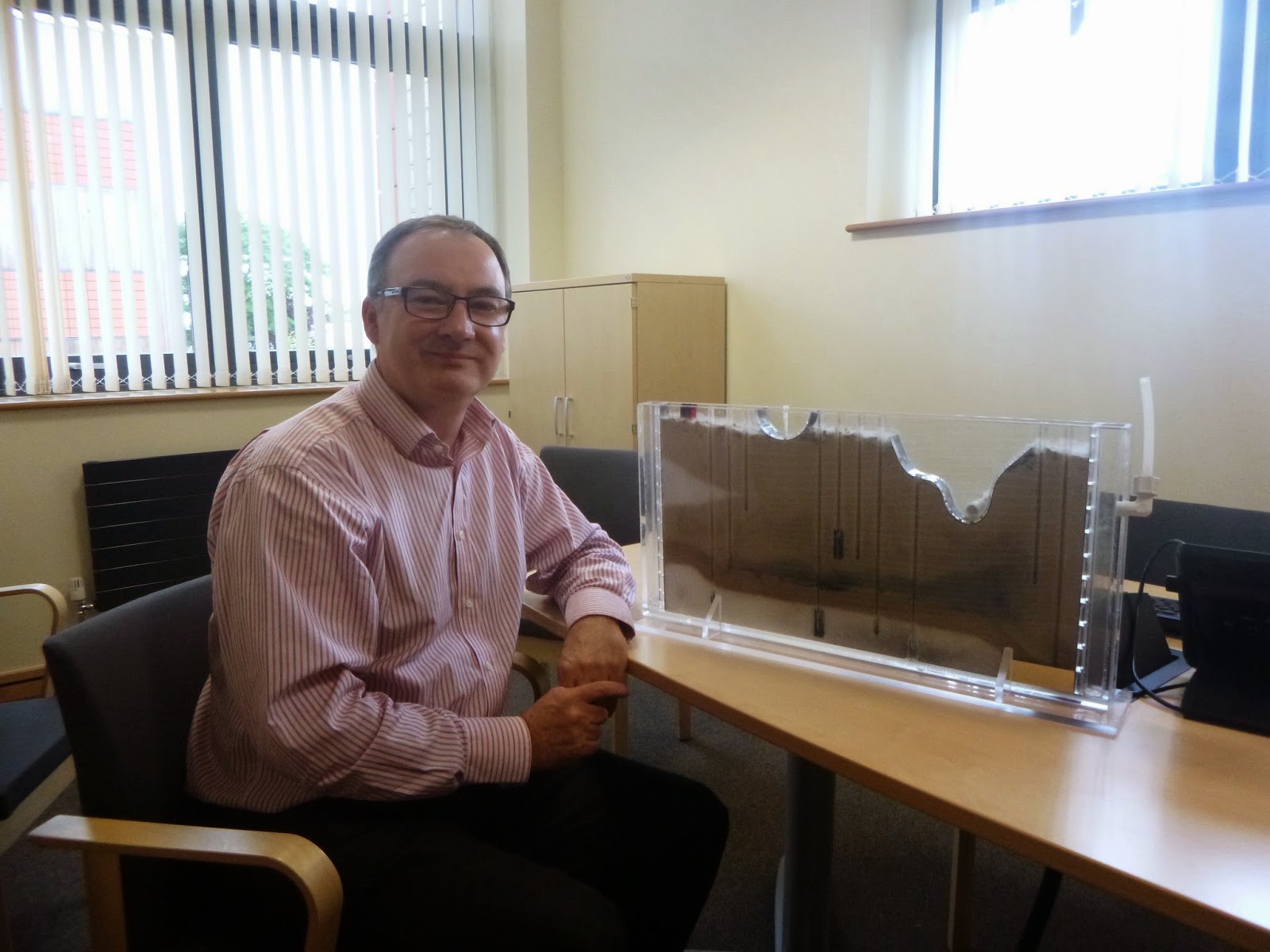
Over the last few weeks we have once again been faced with the impact of flooding on a huge scale. While we have heard a lot about flooding in the North of England (quite rightly) there has been rain all over the country and on a recent train trip I saw flooding in fields across the Westcountry, but looking back at the reports of flooding, this flooding of rural areas across the UK appears a background story to the flooding of towns – if it is mentioned at all in the general media. Farmers are much more frequently the victims of flooding, but because it is fields and livestock that are affected rather than houses and people this flooding is often overlooked. Added to this is the recent suggestion that farmers should be paid to let their fields flood, thus lessening the burden on downstream urban residents, without any real thought as to how our building practices often exacerbate the problem in the first place.

A photo (taken from the train!) of flooded fields in the Westcountry.
Recently, I ran a stakeholder case-study workshop for Environmental Science students in Plymouth University and one interesting issue was that the majority of students placed greater value on communicating with residents of a town affected by the hypothetical situation than the rural residents. In one example, a student playing the role of ‘National Government’ said that it was a ‘numbers thing’, but as another student pointed out in rebuttal for this statement; people in the country, although they may appear more resilient, can actually be more vulnerable due to their isolation and dependence upon the land for their livelihoods. So why do we have this focus on urban (or semi-urban) residents over rural? Is it because increasingly more and more of us live in urban centres as opposed to the country? Or because large media distributors (the gatekeepers of most of our information) are based in cities?

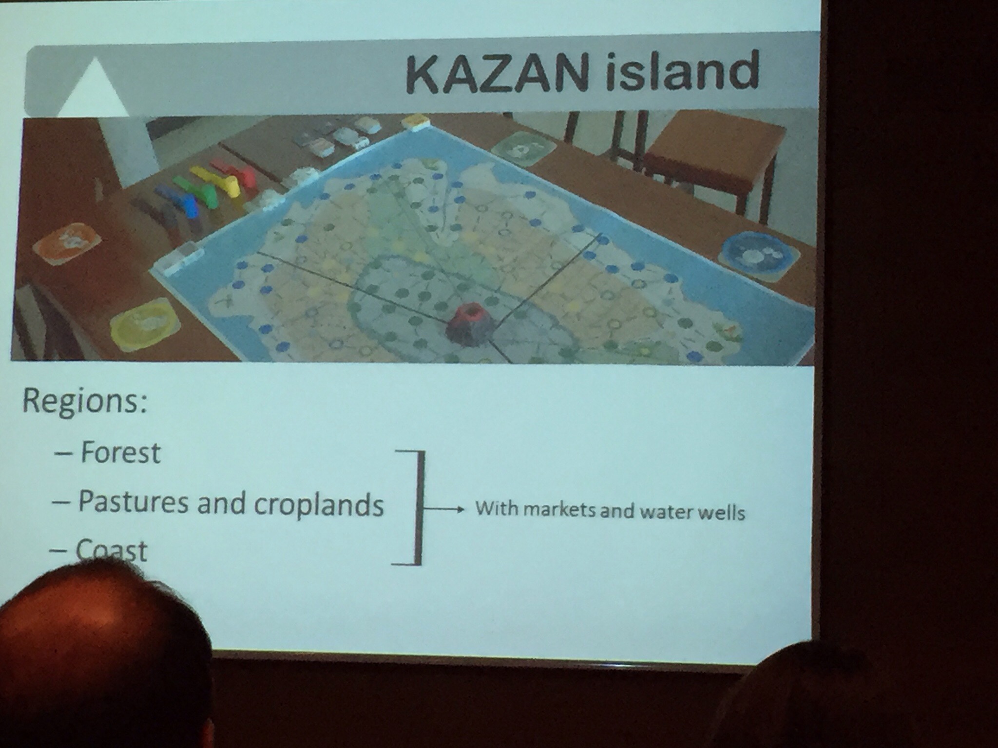
A picture of the board used during the stakeholder workshop to assign communication priorities. Note how many more are listed under the local residents (t – for town) column, than there are under the local residents (c- for countryside) column.
Often communicators (including the media) target the easiest or most visible community, not always out of choice. Hard-to-reach audiences, whether geographically or ideologically can be a challenge to communicate with or about, without seeming patronising. The issues that are important to these communities can seem odd or irrelevant to those communicating, but by ignoring or marginalising the hard-to-reach community you are weakening any further attempt to connect. This is an important issue because these future contacts might be life or death situations and by that time, it’s too late to be feeling your way into a community. In this instance, by lessening our knowledge of the impacts and extent of flooding on rural communities, we may lessen our acceptance to finance flood defence measures that may be better long term solutions, but that focus their protection on our rural communities – the frontline of the majority of flooding in the UK – instead of urban ones.
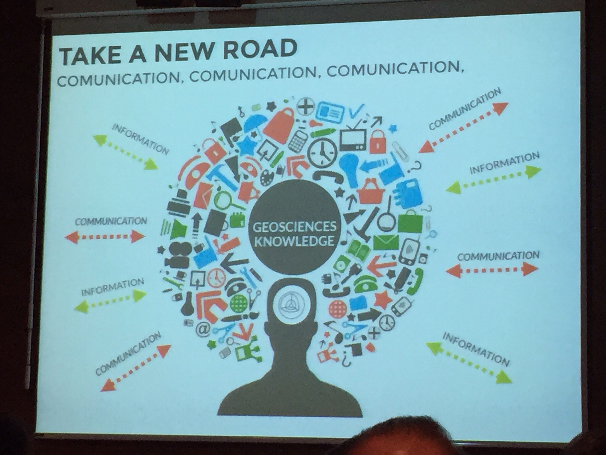
In order to fix this issue, mainstream communication channels, such as the visual and print media, should be encouraged to take into account new research being published on how different populations approach different sciences, particularly the environmental sciences. An upcoming special issue of Natural Hazards and Earth System Science and Hydrology and Earth System Science called Effective Science Communication and Education in Hydrology and Natural Hazards (NHESS/HESS Inter-Journal SI) seeks to address this issue, and I would hope that it will be used to try and improve our national communication strategy.
The closing date for this special issue if you want to submit a paper is the 15th January, so there is still time to get your research in there if you want to join in with this critical conversation.